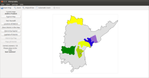
Information for "File:KGeography 2 Placing districts on the map.png"
Jump to navigation
Jump to search
View the protection log for this page.
Basic information
| Display title | File:KGeography 2 Placing districts on the map.png |
| Default sort key | KGeography 2 Placing districts on the map.png |
| Page length (in bytes) | 633 |
| Namespace | File |
| Page ID | 984 |
| Page content language | en - English |
| Page content model | wikitext |
| Indexing by robots | Allowed |
| Number of redirects to this page | 0 |
| Hash value | 6c9350e889cc8d01063049ee57945d8f0ea470e9 |
| Page image |  |
Page protection
| Edit | Allow all users (infinite) |
| Move | Allow all users (infinite) |
| Upload | Allow all users (infinite) |
Edit history
| Page creator | Venkatesh (talk | contribs) |
| Date of page creation | 10:57, 21 December 2016 |
| Latest editor | Venkatesh (talk | contribs) |
| Date of latest edit | 10:57, 21 December 2016 |
| Total number of edits | 1 |
| Total number of distinct authors | 1 |
| Recent number of edits (within past 90 days) | 0 |
| Recent number of distinct authors | 0 |
Page properties
| Transcluded templates (12) | Templates used on this page:
|